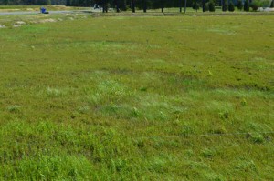
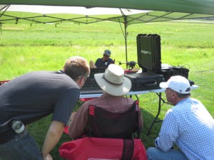
Last month we spoke with Dr. Peter Oudemans of Rutgers University about how our fairy ring treatment is progressing. This week, he had a team out mapping the selected treatment site with drones.
Using aerial technology to pinpoint treatment is a crucial component in integrated pest management, or IPM. What is IPM? The UC Cooperative Extension says:
“IPM is an ecosystem-based strategy that focuses on long-term prevention of pests or their damage through a combination of techniques such as biological control, habitat manipulation, modification of cultural practices, and use of resistant varieties. . . . [T]reatments are made with the goal of removing only the target organism.”
Drones can be a tremendous help with this. Per an earlier article from Robohub, “agriculture is a big data problem without the big data.” The article goes on to explain:
“Rather than taking pictures and videos of people, [drones will] be surveying fields, using their high-resolution sensors to improve crop yield and decrease agricultural water and [treatment] use. . . About half of the “inputs” in farming. . . are typically wasted because they’re applied in greater amount than needed or in the wrong place, such as the ground between plants rather than the plants themselves.”
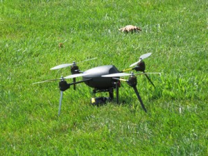
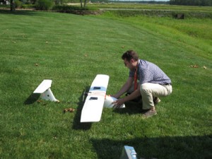
At the Pine Island experimental site “we use two different types, a fixed-wing and a quad copter,” Peter says. “The fixed-wing is good for surveying because it can cover a large area in a short amount of time, while the quad is for more precise work.” The quad is also easier to fly. This week, however, they only flew the fixed-wing. “It took three sets of images, which will hopefully tell us more about how the fairy ring treatments are progressing.”
“They’re going to change the whole way we do things,” says CEO Bill Haines. “It’s moving us toward site specific agriculture, not just treating the whole bog.”


